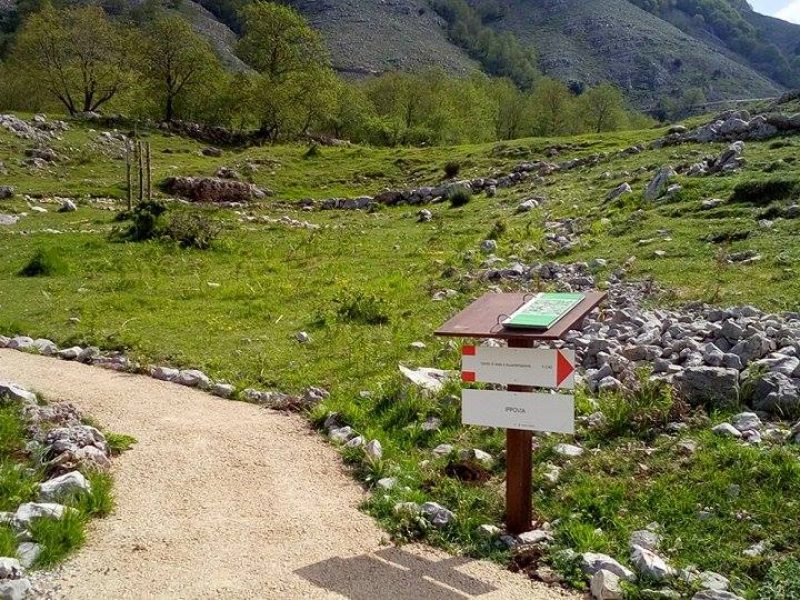
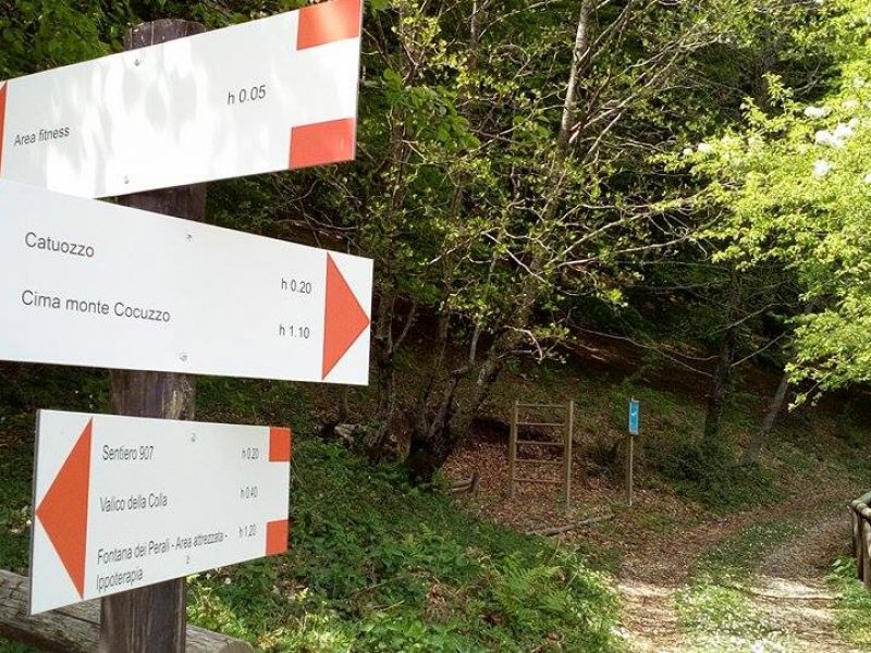
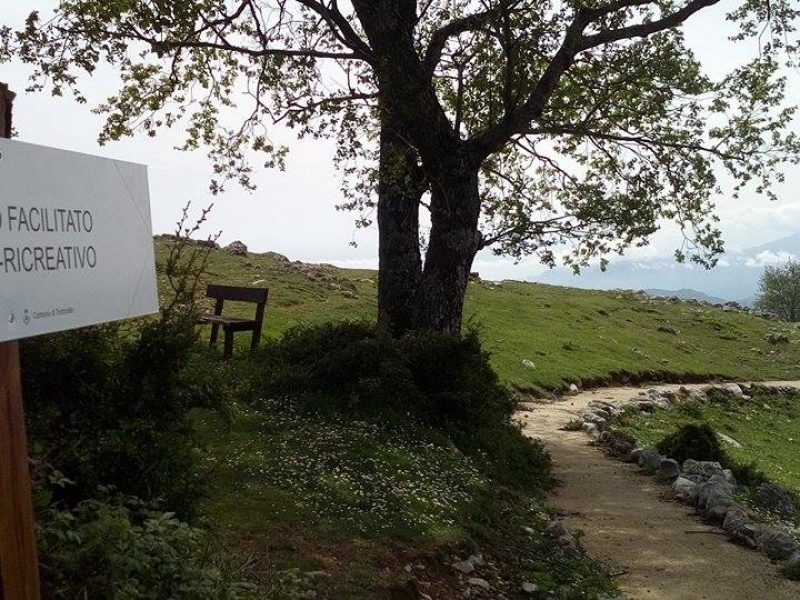
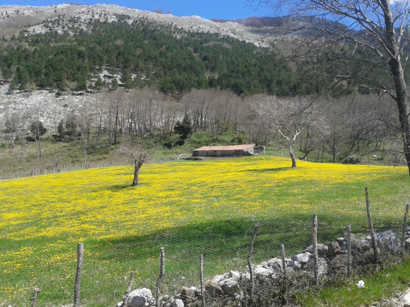
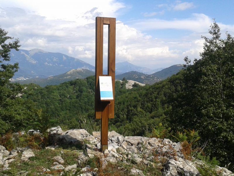
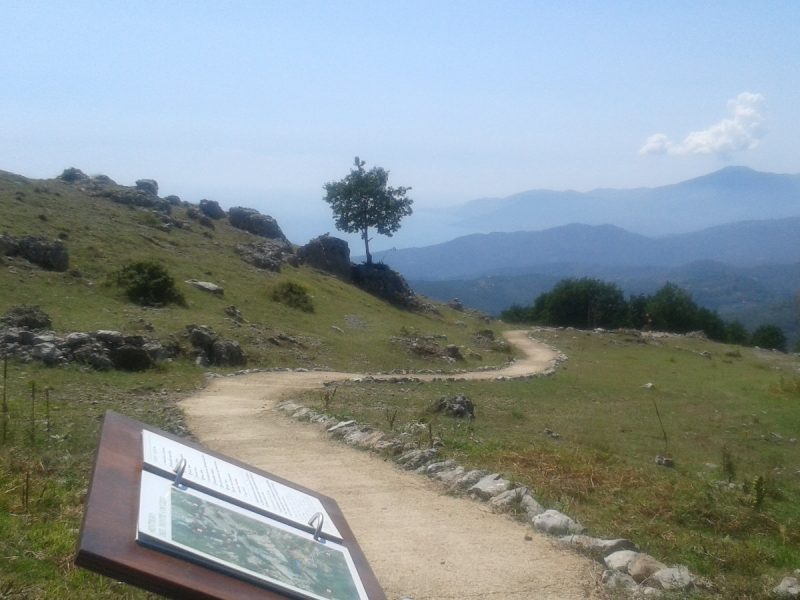
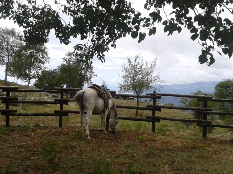
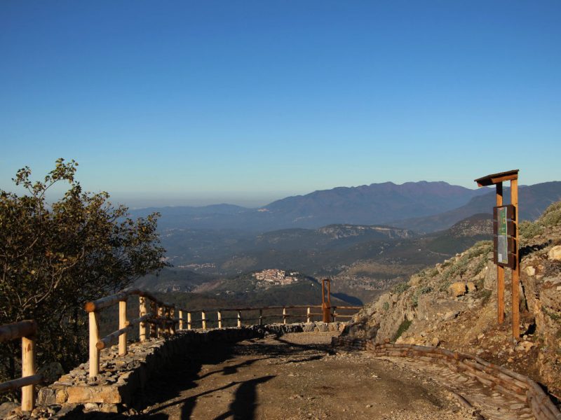
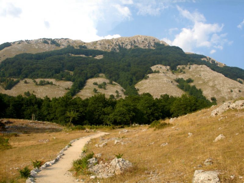
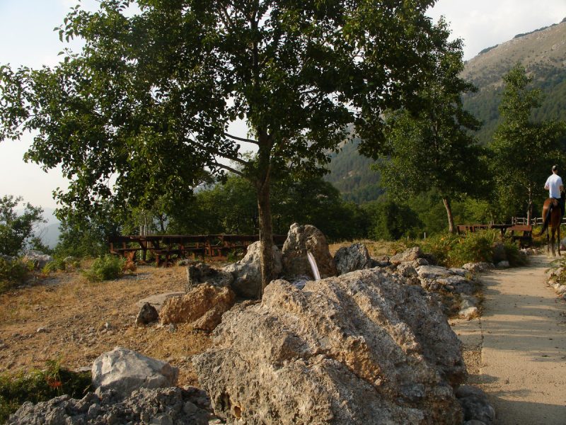
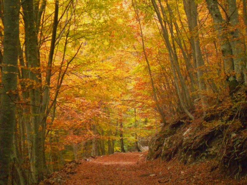
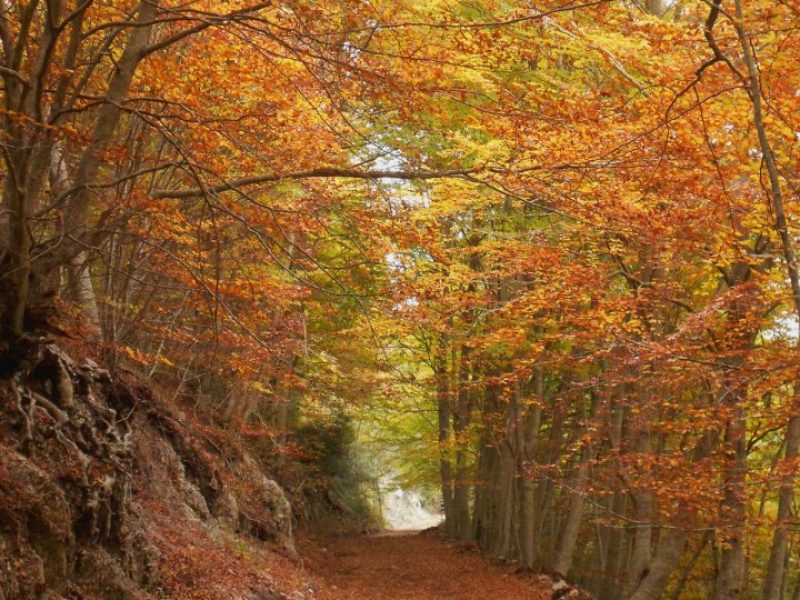
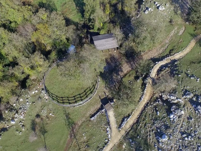
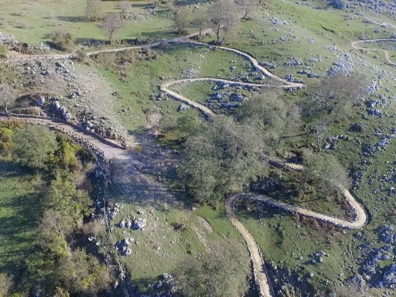
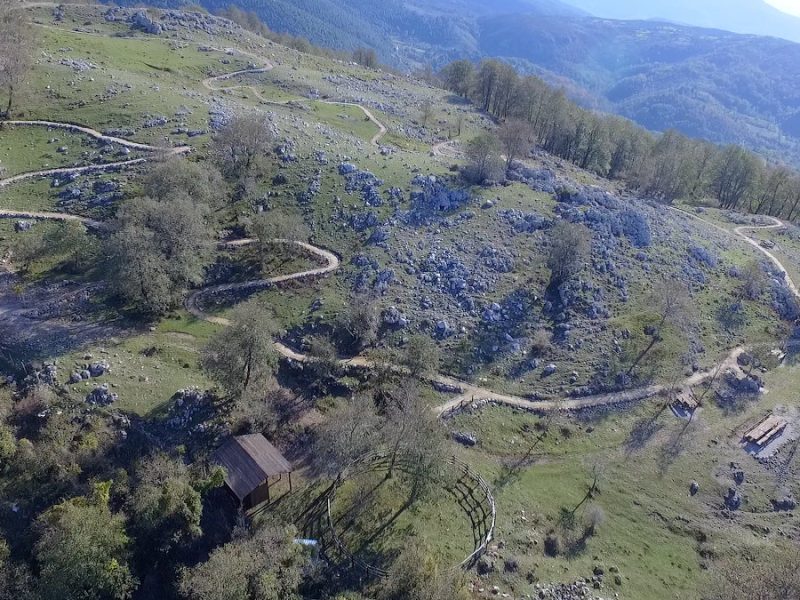
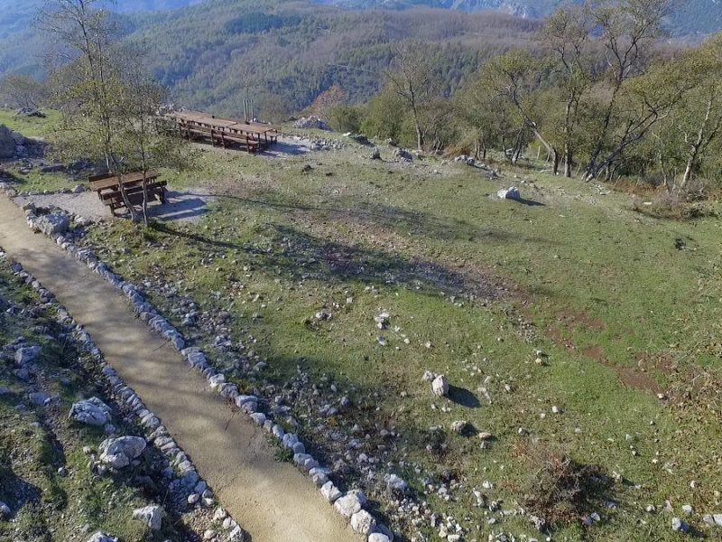
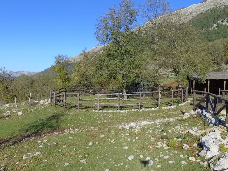
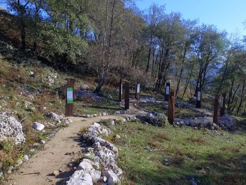
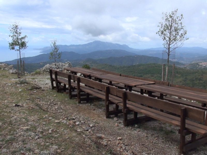
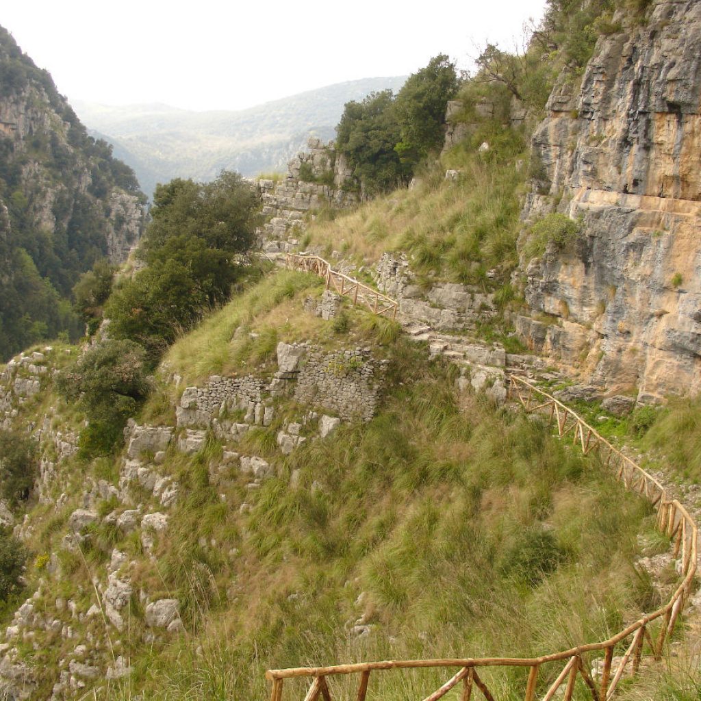
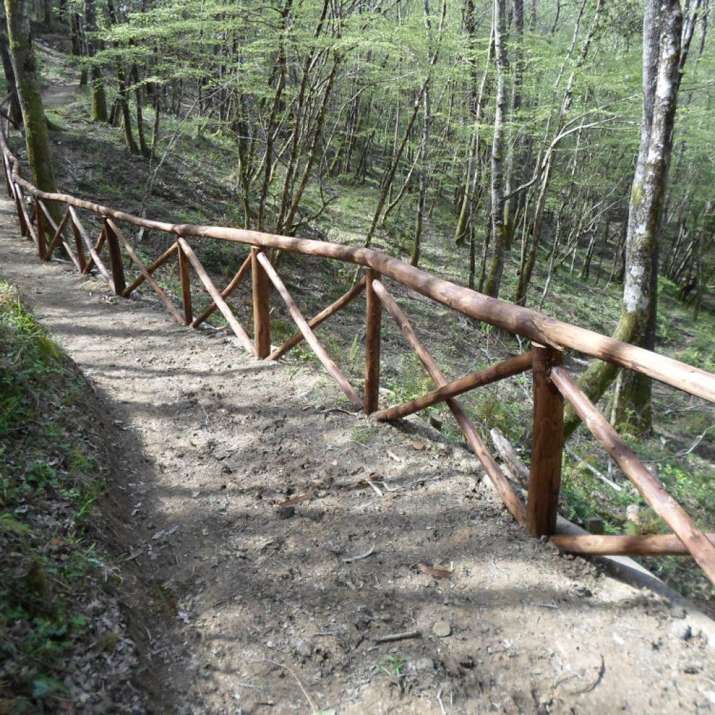
The circular nature trail crosses the beech forest reaching the top of Mount Cocuzzo, at an altitude of 1300 meters, passing through the Colla pass, a Bourbon road and ancient trace of trade routes between the Tyrrhenian Sea and the Ionian Sea that the merchants used to avoid meeting with enemy ships. Equipped with a fitness area and a life path inside the woods, it allows long excursions and outdoor sports, also connecting to other hiking trails. At the foot of the mountain, near the source, there is an educational-recreational area “nature for all”, equipped with barbecue and space for horses also for hippotherapy, suitable for use by the disabled and the elderly, through a facilitated path. The nearby disused quarry, a geosite of international importance, which has been transformed into the Museum of Man and Nature. The presence of interactive games “The senses at play”, the “Path of smells”, the “Path of dyeing plants”, “The tree horoscope”, will allow you to get to know nature by interacting with it or simply to spend a day in a panoramic area that opens suggestively to Cilento and the neighboring regions: a silent, magical and timeless space.
Length: 9,013 km
Duration: 5:30h
Difficulty: EE
Entrance area: facilitated path accessible to all
Mountain excursions require specific clothing and equipment. Even on relatively short and easy outings, it is always better to be well equipped to avoid unpleasant surprises and to face unexpected events such as a sudden storm or a drop in energy.
What to bring for a trekking in the mountains?
In your backpack (for a daily excursion a 25 / 30L is usually recommended) it is good to bring:
water bottle (1L)
snacks (for example, dried fruit or chocolate)
first aid kit
windproof jacket
a fleece shirt
spare t-shirt and socks (possibly closed in a plastic bag)
wear or at least carry in your backpack a pair of long pants
bonnet
sunscreen
Sun glasses
gloves
whistle to be tracked in an emergency
Emergency telephone number Alpine Rescue 112.
Also wear footwear suitable for the route and the season. The walking surface of the paths can be irregular or bumpy and a pair of boots will protect you from distortions. A grassy slope, a rock slab or a steep path, if wet, can become dangerous without suitable footwear.
Finally … don’t forget your camera! It will be used to immortalize the excursion and the countless breathtaking views that are hidden at every corner. And if you want to share your memories with us, you can use the hashtag #borgoditortorella