Path Of The Farneto

Path

Difficulty

Hikers

Gallery

The path extends for 3,750m, crossing the entire “Farneto” wood. It starts from the Gerdanasio stream, at an altitude of 290m a.s.l., at the Ponte Santa Caterina locality, where the “Rupazzi” path reaches the urban center of Tortorella (SA). Subsequently, it climbs through the “Pianannota” and “Motoscio” districts to the “Farneto” wood at an altitude of 460m above sea level. This last wood is crossed for its entire extension, in a direction parallel to the river bank of the Rio Bussentino, a tributary of the Bussento River, gradually descending in altitude until it reaches the ancient stone bridge of Morigerati at 133m a.s.l. From here, through the local network of paths, it is possible to continue towards the town of Morigerati (SA) with its famous caves, mills and ironworks.
Length: 3,750 km
Duration: 3 h
Difficulty: E
Mountain excursions require specific clothing and equipment. Even on relatively short and easy outings, it is always better to be well equipped to avoid unpleasant surprises and to face unexpected events such as a sudden storm or a drop in energy.

What to bring for a trekking in the mountains?

In your backpack (for a daily excursion a 25 / 30L is usually recommended) it is good to bring:

water bottle (1L)
snacks (for example, dried fruit or chocolate)
first aid kit
windproof jacket
a fleece shirt
spare t-shirt and socks (possibly closed in a plastic bag)
wear or at least carry in your backpack a pair of long pants
bonnet
sunscreen
Sun glasses
gloves
whistle to be tracked in an emergency
Emergency telephone number Alpine Rescue 112.

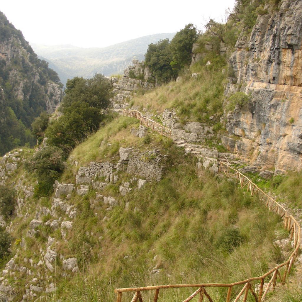
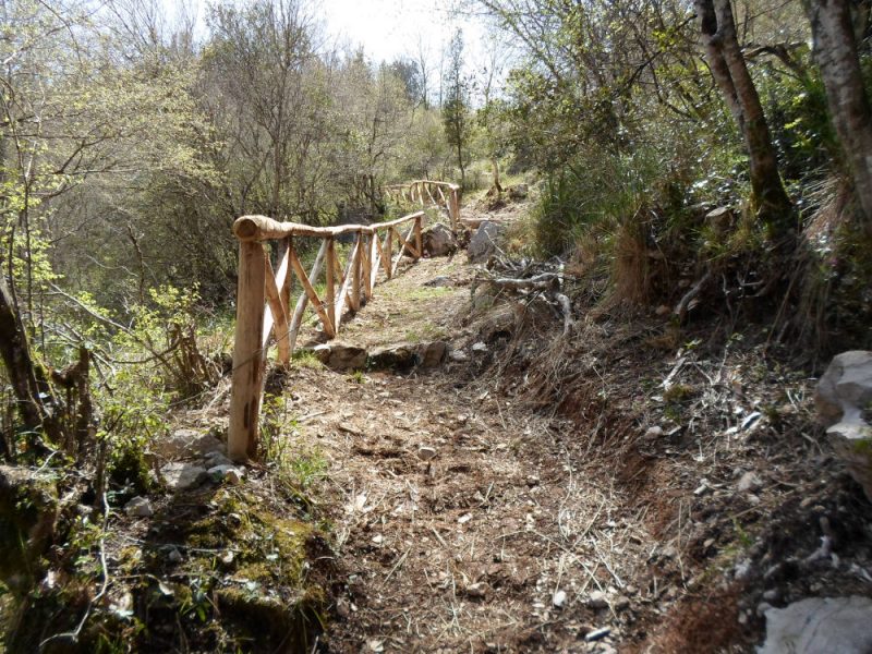
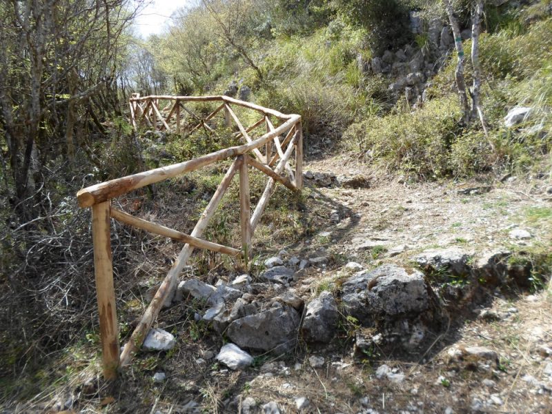
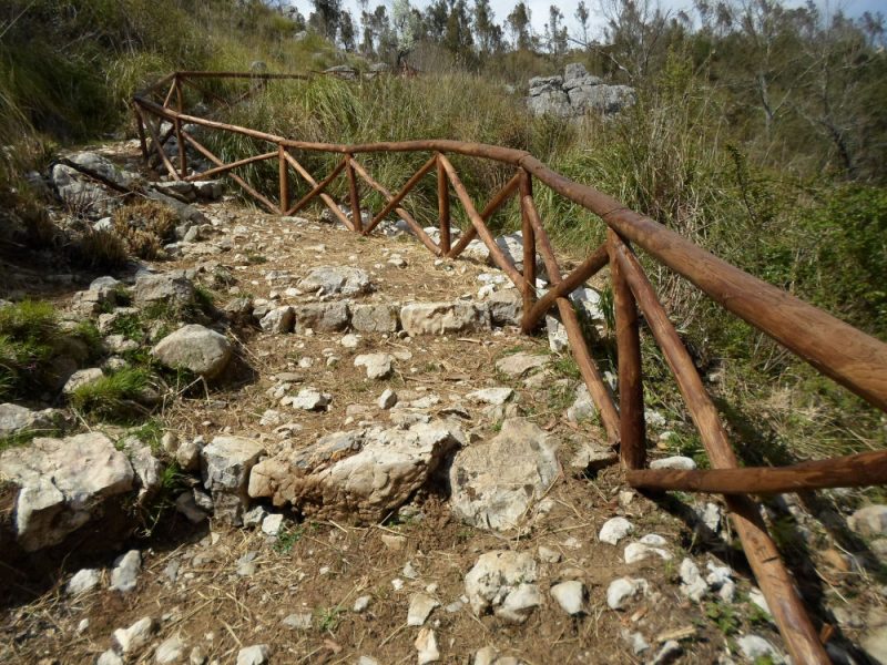
Also wear footwear suitable for the route and the season. The walking surface of the paths can be irregular or bumpy and a pair of walking boots will protect you from distortions. A grassy slope, a rock slab or a steep path, if wet, can become dangerous without suitable footwear.

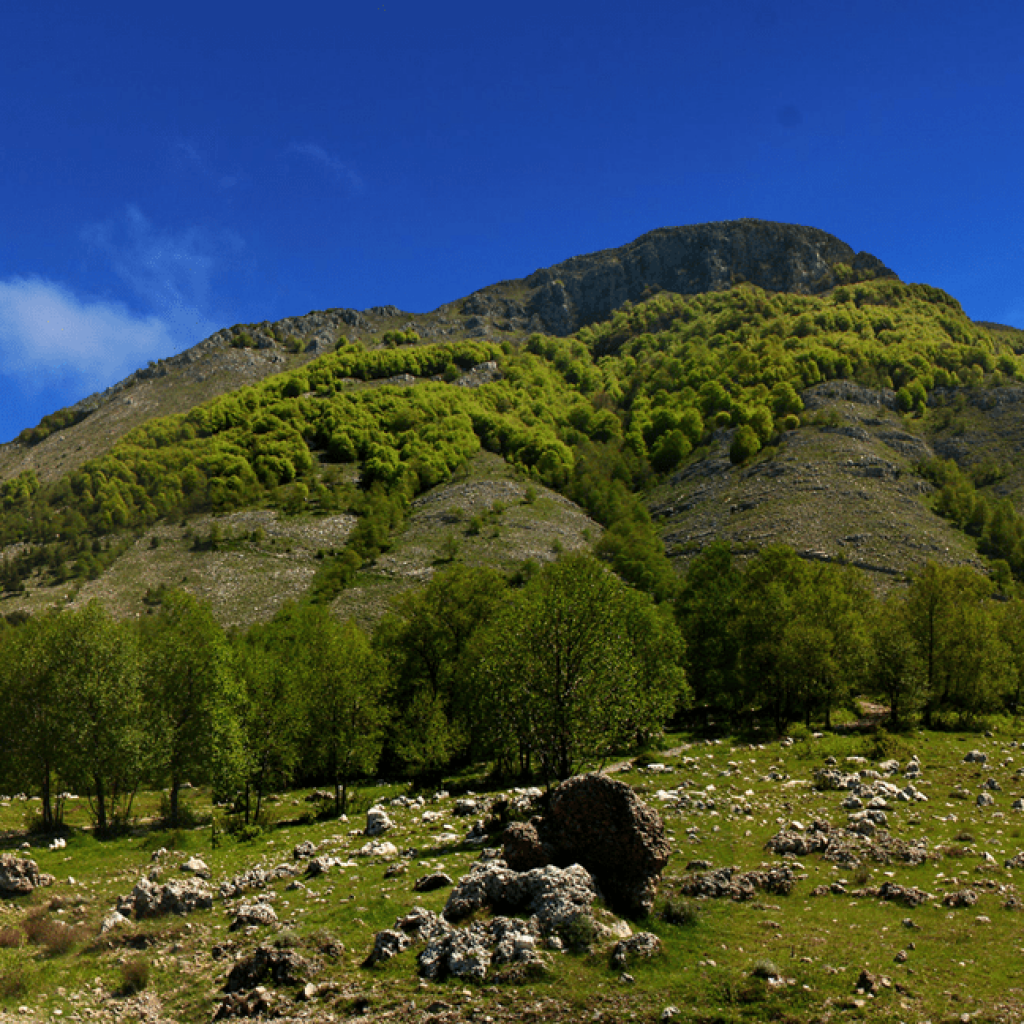
Finally … don’t forget your camera! It will be used to immortalize the excursion and the countless breathtaking views that are hidden at every corner. And if you want to share your memories with us, you can use the hashtag #borgoditortorella

Map

WP GPX Maps Error: GPX file not found! /web/htdocs/www.borgoditortorella.com/home/wp-content/uploads/gpx/t21974528_1 - giro delle trincee.gpx

Difficulty

E

Length

3,750 Km

Duration

3h

You might be interested in:

Accessibility Tools