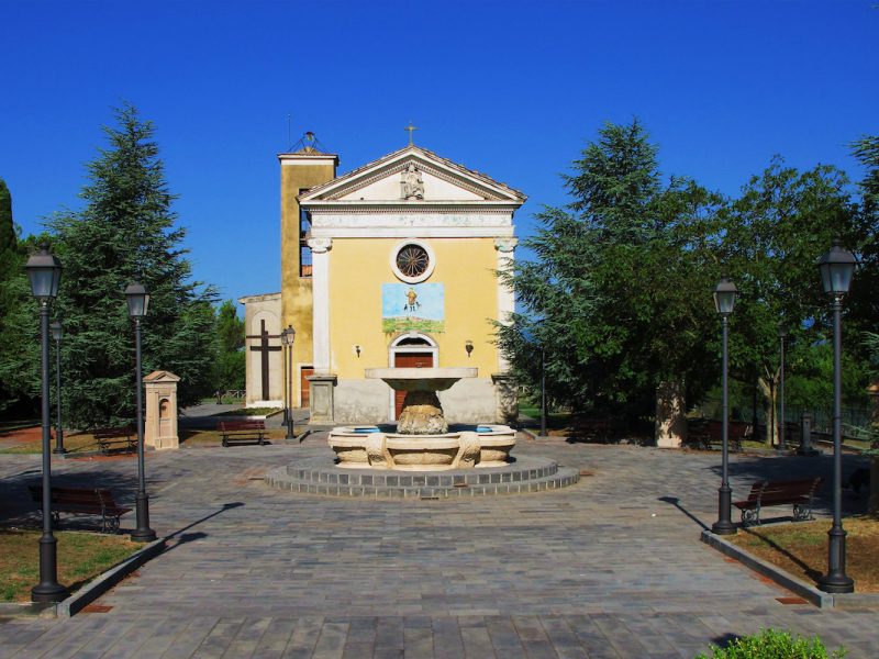
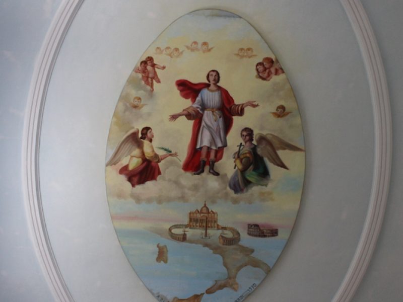
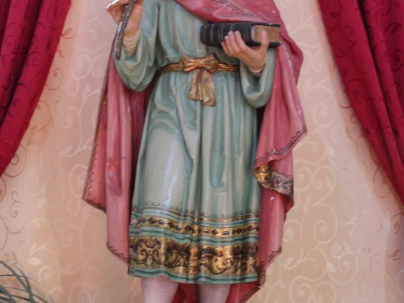
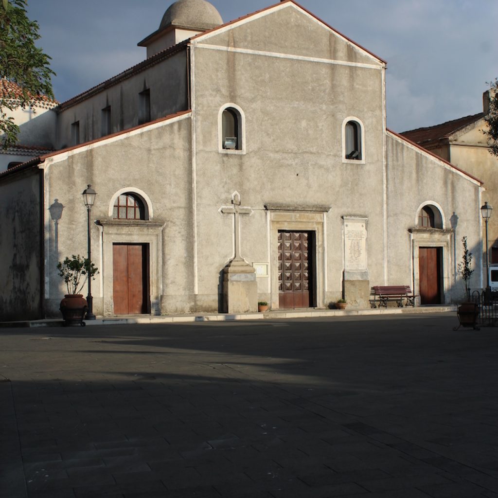
It was built between the 17th and 18th centuries. Located just outside the town, its square is a characteristic meeting place for the community. The church dedicated to San Vito Martire has very ancient origins.
According to some historians, it stands on the ruins of a massive military outpost. For others, the sacred building has the typical characteristics of a Basilian monastery.
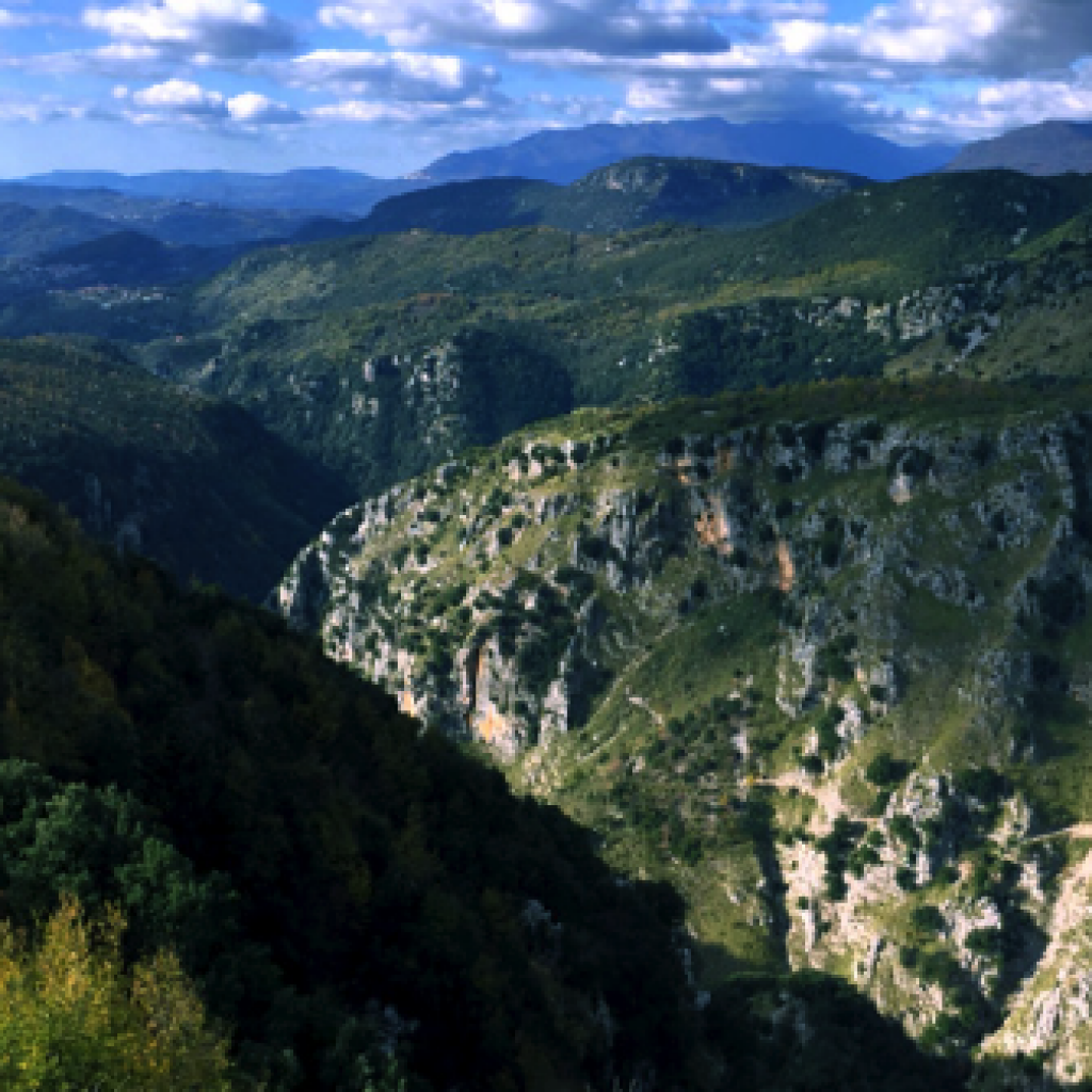
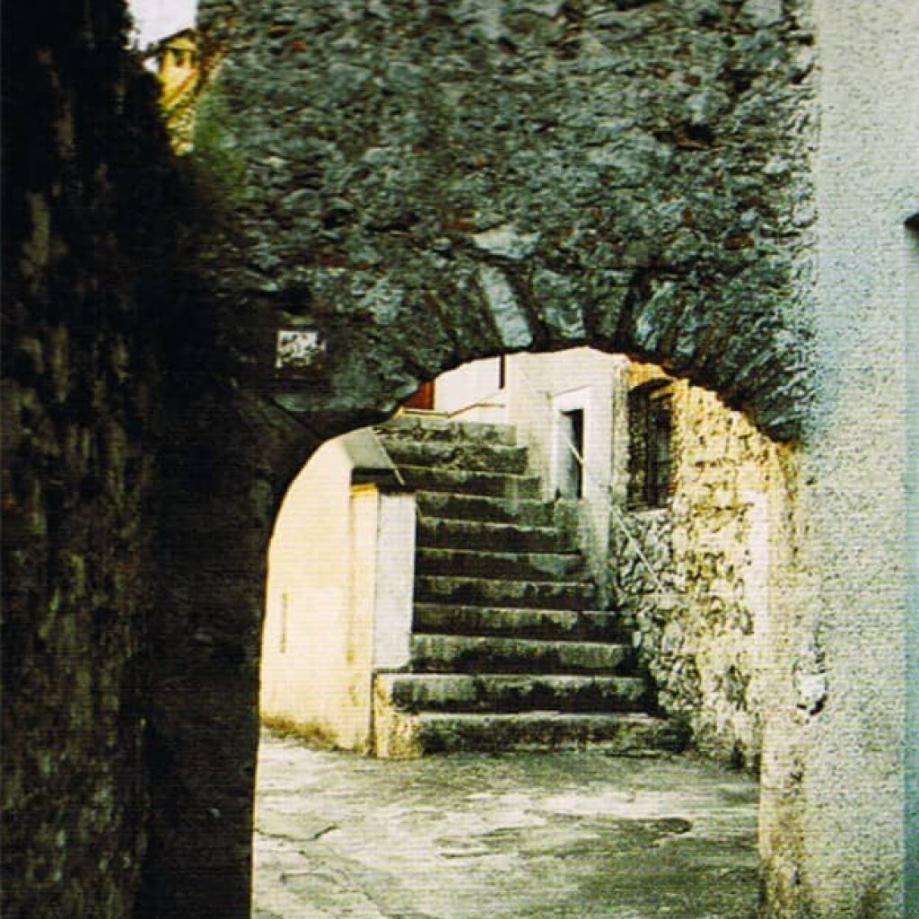
The feast of the saint has always been celebrated with great participation of the people. The structure of the temple, in the last century, had undergone considerable deterioration due to the serious economic conditions of the people and the equally adverse weather conditions due to the position in which it is located, on the spur of a rocky promontory, straddling a strong karst depression.
The restoration work, from September 1962 to the autumn of 1969, allowed the sacred place to function.
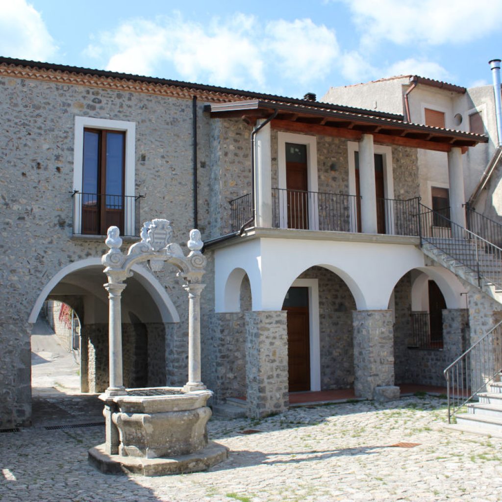
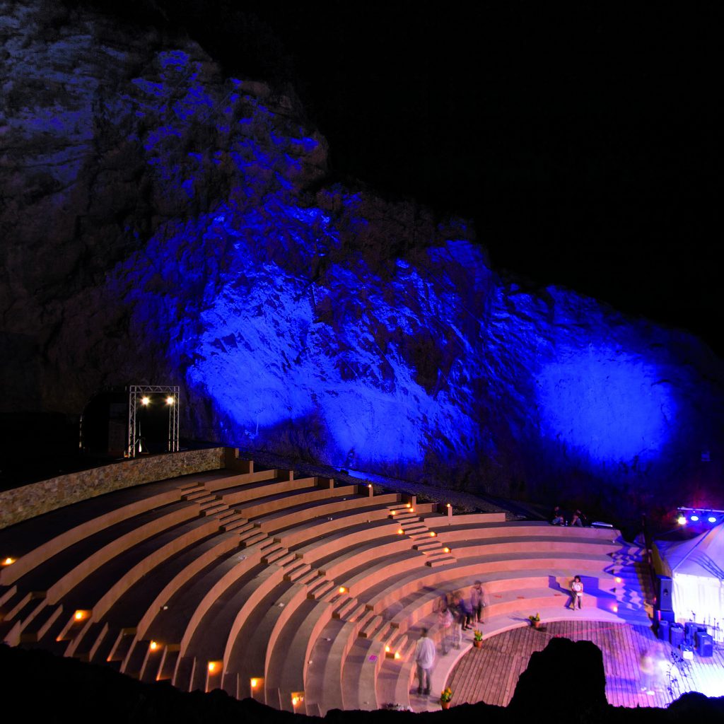
A large square was created outside the church. Previously on the site there was only a small threshing floor; the promontory was completely barren and devoid of vegetation. Subsequently, the vegetation was increased; the entire southern slope has been reforested with pioneer conifer plants, the clearing has been paved, made accessible from the provincial road, illuminated and functionally organized. Finally, the area was enriched with sports equipment: a regulation tennis court, a volleyball-basketball court, one for skating, and one for bowling were created.
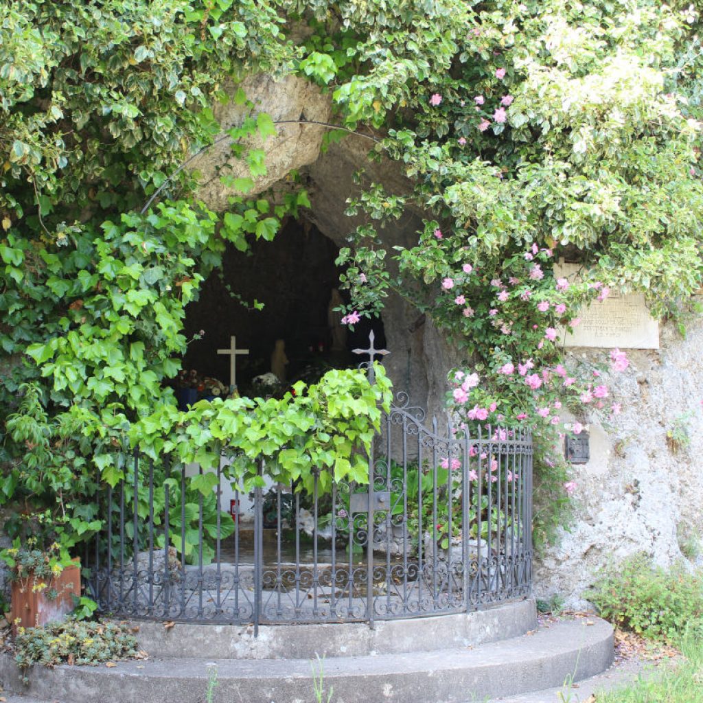
There is also the presence of the changing room for sportsmen who wish to take advantage of these infrastructures. To the north of the sacred building there is an ancient well, very deep. It does not reach any aquifer, since the entire hill is karst in nature, but in the past it served as a cistern for rainwater. This well constitutes a singular architectural element and is one of the clues that leads some historians to believe that the sacred place, originally, must have been a Basilian monastery. It is known, in fact, that the Basilian monks preferred to live in seclusion and independently from the inhabited centers.